
HKABAEIMA Training Centre Training Class – Season 6 : Extend Our openBIM Learning in ISO19650 13/10-8/12/2021
October 13, 2021
HKABAEIMA Training Centre Training Class – Bringing openBIM to Classrooms
October 27, 2021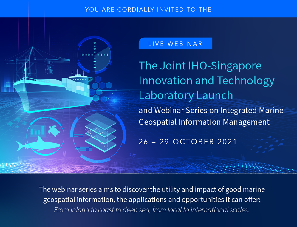
The planned webinar series on integrated marine geospatial information as precursor activities for the third expert meeting of the Working Group, expected to be convened in April 2022, in Singapore together with an international seminar. This webinar series will provide a forum for dialogue and engagement to address effective and integrated marine geospatial information, its challenges and opportunities.
The value proposition for developing, managing and sustaining nationally integrated geospatial information management arrangement that includes the marine domain is extensive. It includes everything from transportation and shipping to basic human needs like clean drinking water. The value of the Integrated Geospatial Information Framework (IGIF) and inclusion of the marine domain in any national integrated geospatial information program include: nautical charting, safety of navigation and transportation; maritime resource planning and management; maritime limits and boundaries; subsistence and food security; disaster risk management and emergency response; integrated marine cadastre; sustainable energy; environmental management and protection; climate change; and science, research and knowledge. It is important to promote and to advise on practical considerations regarding the inclusion of the marine domain across an entire geospatial ecosystem.
| Date & Time | Programme |
|---|---|
| 26 October 10:00 – 11:45 UTC 18:00 – 19:45 HKT |
Session 01: Technology and Innovation for Integrated Marine Geospatial Information Management
Presentations: (a) Introduction to the IHO-Singapore Innovation and Technology Laboratory Projects Dr. Parry Oei (b) NOAA’s Global Extratropical Surge and Tide Operational Forecast System (Global ESTOFS) Dr. Saeed Moghimi and Mr Michael Lalime (c) Towards a Sustainable Sea with GeoSpace-Sea Mr. Eric Foo |
| 27 October 10:00 – 11:15 UTC 18:00 – 19:15 HKT |
Session 02: An Operational Framework for Integrated Marine Geospatial Information Management
Presentations: (a) Using Geospatial Information to Support Resource Management of the Florida Keys National Marine Sanctuary Ms. Sarah Fangman (b) How to realize a Marine Spatial Data Infrastructure – Japan’s case Mr. Shigeru Nakabayashi (c) tba Mr. Thomas Gaarde (d) Marine Geospatial Information Management in South Africa Mr. Alfons van Craeynest (e) The use of earth observation data in addressing illegal, unregulated and unreported fishing and safety of artisanal fishers in West Africa Professor George Wiafe |
| 28 October 10:00 – 11:15 UTC 18:00 – 19:15 HKT |
Session 03: Integrated Marine Geospatial Information Management Practices
Presentations: (a) Data and Models to elucidate trends, the development of a marine research database Dr. Ooi Seng Keat (b) Integrating and reusing marine spatial data to support a sustainable blue economy in New Zealand Ms. Rachael Gabara (c) tba Ms. Mary T. Crowley (d) Implementing the Integrated Geospatial Information Framework at the UK Hydrographic Office: A Caribbean Case Study Mr. James Carey
Dr. Brett Beamsley |
| 29 October 10:00 – 11:15 UTC 18:00 – 19:15 HKT |
Session 04: Standards for Findable Accessible Interoperable and Reusable Marine Geospatial Information; The Future of Marine Geospatial Information
Presentations: (a) International Seabed Authority DeepData: Knowledge for the common heritage of humankind Mr. Sheldon Carter (b) The Baltic Sea and the North Sea as a S-122 Testbed Mr. Jens Peter Hartmann (c) IHO-S121 Maritime Limits and Boundaries and ISO-19152 Land Administration Domain Model – together will allow the seamless administration of land and the oceans Mr. Mark Alcock (d) Introduction to the IGIF-Hydro, and operational framework for integrated marine geospatial information management Mr. John Nyberg |
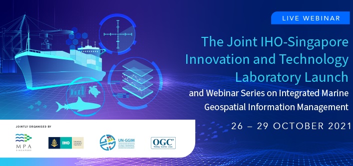
Host and organizers
The webinar series is hosted by Maritime and Port Authority of Singapore and jointly organized by
- Maritime and Port Authority of Singapore;
- Working Group on Marine Geospatial Information;
- IHO Marine Spatial Data Infrastructure Working Group; and
- OGC Marine Domain Working Group
