The Lands Department (LandsD) launched the 3D Visualisation Map dataset of Kowloon Central and an online application platform, “Open3Dhk” , for the public to use free of charge.
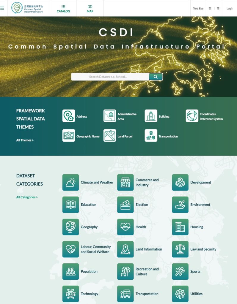
To tie in with the development of smart city, the LandsD has started the production of a territory-wide 3D Visualisation Map since 2021 for release for public use in phases. The first 3D Visualisation Map covering Kowloon East was launched in December 2022. The dataset of 3D Visualisation Map of Kowloon Central released today comprises around 9 500 buildings and about 210 individual models of infrastructures, including flyovers, footbridges and subways. Public can download the dataset through the Common Spatial Data Infrastructure portal (portal.csdi.gov.hk).
3D Visualisation Map adopts advanced survey and mapping technologies to generate high-precision and photorealistic 3D models of the city. Its dataset comes in both native and open formats, which can be integrated with various types of spatial data to support a variety of analysis and applications, including urban planning, land administration, project development, environmental assessment, transportation and logistics study, spatial analysis and game design, contributing to the smart city development in Hong Kong.
To demonstrate the potential applications of 3D map data, the LandsD also launched a new online application platform, “Open3Dhk” (3d.map.gov.hk).
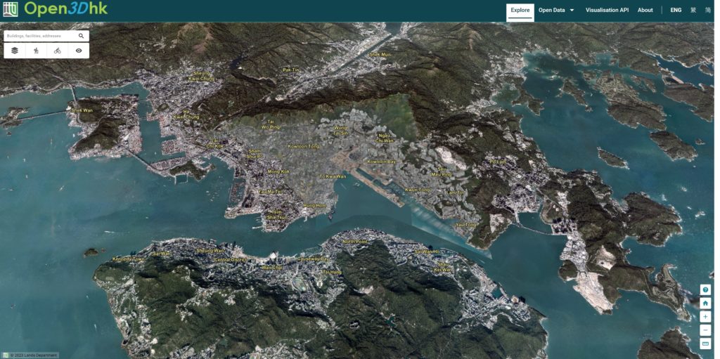
The platform transformed a large variety of spatial data into user-friendly applications which can support diverse uses by the general public, the academia and professionals. Through the interactive functions on the platform, users can view photorealistic 3D city models of Kowloon East and Kowloon Central, building information and the approximate lot boundaries. Users can also plan hiking and cycling routes with the help of the intuitive profiles graphs and gradient measurement tool. The platform also provides a first-person view function which enables users to have a detailed understanding of the surrounding environment of a location.
The platform also offers Application Programming Interfaces (API) for streaming data of 3D maps and sample code, allowing innovation and technology sector and the academia to utilize the dataset in developing web services or applications.
The LandsD will continue to promote spatial data, with a view to completing the full set of 3D Visualization Map covering the whole territory of Hong Kong in the third quarter of 2024. More 3D map applications will also be provided to the public on “Open3Dhk” progressively.
Become CBIM member to enjoy member-only access to resources, connections and support!
Not a member? Join HKICBIM

Hong Kong Institute of Civil and Building Information Management (HKICBIM) is a newly formed institute which provides an informative platform for civil and building counterparts to network and exchange civil Building Information Modeling (BIM) knowledge. HKICBIM aims to foster technological innovation and accelerate the adoption of Civil and Building Information Modeling Management in the Architecture, Engineering, Construction (AEC) industry.
The Articles and By-Laws set out the HKICBIM objectives of establishment, grades of membership, structure and management, professional conduct, and other rules relevant to conduct the affairs of HKICBIM. In addition, the By-Laws may be revised and supplemented periodically as and when necessary.